GIS Day 2005 Wrap up
Cattaraugus County held its 2nd Annual GIS Day in the lobby of the County Building in Little Valley, NY. The County's GIS Coordinator, Daniel T. Martonis as well as Industrial Program Specialist, Joseph J. Williams were on hand all day to demonstrate the county's GIS capabilities.

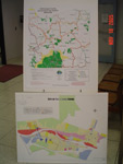
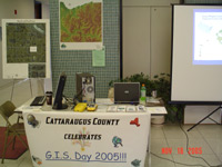
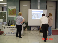
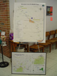
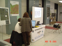
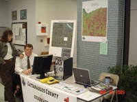
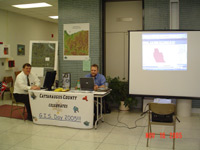
Maps were displayed showing the numerous projects that have been accomplished or enhanced by the use of GIS. A GPS receiver was on hand to demonstrate how the county collects its GPS data. Two computers were on display--one showing a power point presentation of various GIS projects; while another was used to show the county's online ArcIMS: parcel viewer, polling/voting districts, & mosquito spraying maps (www.cattco.com). The computers were also used to print out maps for those whom wished for them. Multiple brochures that were created with the help of GIS & GPS were on display for the taking. These brochures included snowmobile trails, Amish locations, hiking trails, DEC fishing locations, and more.
The County plans on continuing this tradition into 2006 and beyond.
Thank you,
Daniel T. Martonis, GIS Coordinator
Email: dtmartonis [at] cattco [dot] com